Heavy Rains of
June 2002
For some Minnesota communities, June 2002 will
go down in history as the wettest month ever. Preliminary data
indicate that June 2002 rainfall totals exceeded 10 inches in portions
of northwestern, north central, central, and southeastern Minnesota.
Rainfall totals exceeding 12 inches were reported in Mahnomen, Norman,
Koochiching, Lake of the Woods, Roseau, and Goodhue counties. Rainfall
amounts in excess of 14 inches fell upon portions of Norman, Mahnomen,
Koochiching, Lake of the Woods, and Roseau counties.
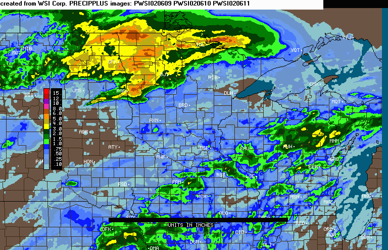
The rains of June 2002 were produced by slow moving storms
tracking along a semi-permanent boundary draped across Minnesota that separated
warm moist air to the south from relatively dry, cool air to the north. The slow rate of
forward movement of the storms was dictated by a lack of strong
upper-air winds. The June 2002 rain totals were the result of torrential 24
to 48 hour events that covered large areas of
Minnesota. A significant percentage of the rain fell during four
episodes:
June 2002 rainfall totals exceeded historical averages
("normal") by more than six inches in many areas, and by
more than 10 inches in some locations. In northwestern
Minnesota, the June 2002 rainfall exceeded one half of the normal
ANNUAL precipitation.
When compared against all other historical June data, June 2002
precipitation totals ranked at or above the 99th percentile for nearly
all of northwestern Minnesota, large areas of north central Minnesota,
and some sections of northeastern, central, and southeastern
Minnesota. Slightly less than 20 percent of all surface area in
Minnesota was at or above the 99th percentile for June rainfall.


Labeled-line, black-and-white
Windows Metafile (*.wmf) versions of the color maps shown above can be obtained by
right-clicking on one of the following ...
June 2002 Precipitation
Totals | June 2002
Departure from Normal | June
2002 Rainfall Rank
... and choosing "Save Target As" or "Save Link As".
These versions of the map are useful for insertion into
documents that require inexpensive photo-reproduction.
The State Climatology Office thanks
Soil and Water Conservation Districts in the affected areas for their
prompt and thorough response to our request for precipitation data.
Data were also provided by DNR Forestry and the National Weather
Service. We thank Minnesota's many volunteer precipitation monitors, whose
diligent efforts make detailed analysis of storm events possible.

 Return to the Climate Journal Return to the Climate Journal
mcwg@soils.umn.edu
URL: http://climate.umn.edu/doc/journal/june2002.htm
Last modified: July 26, 2002
|